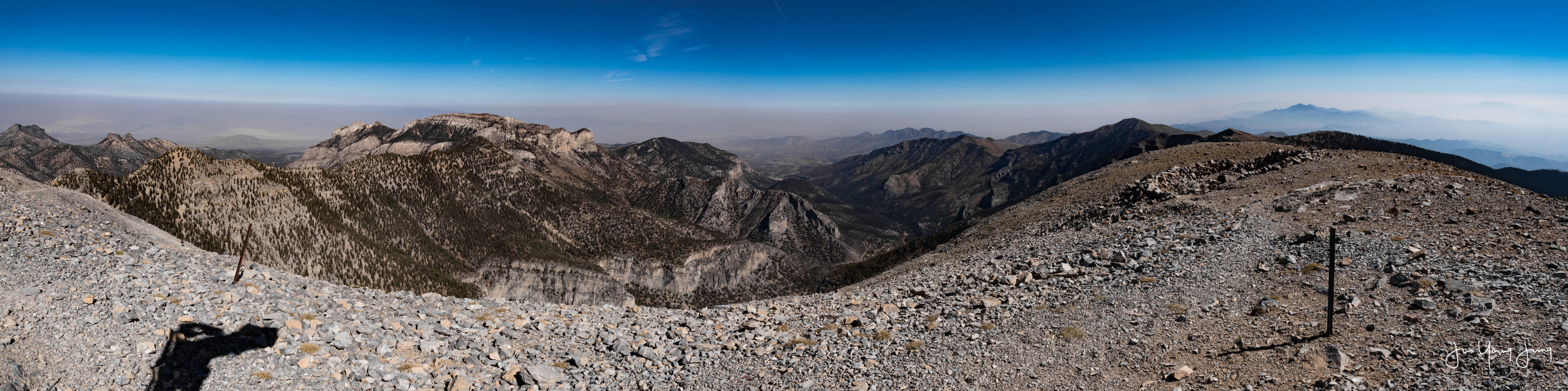
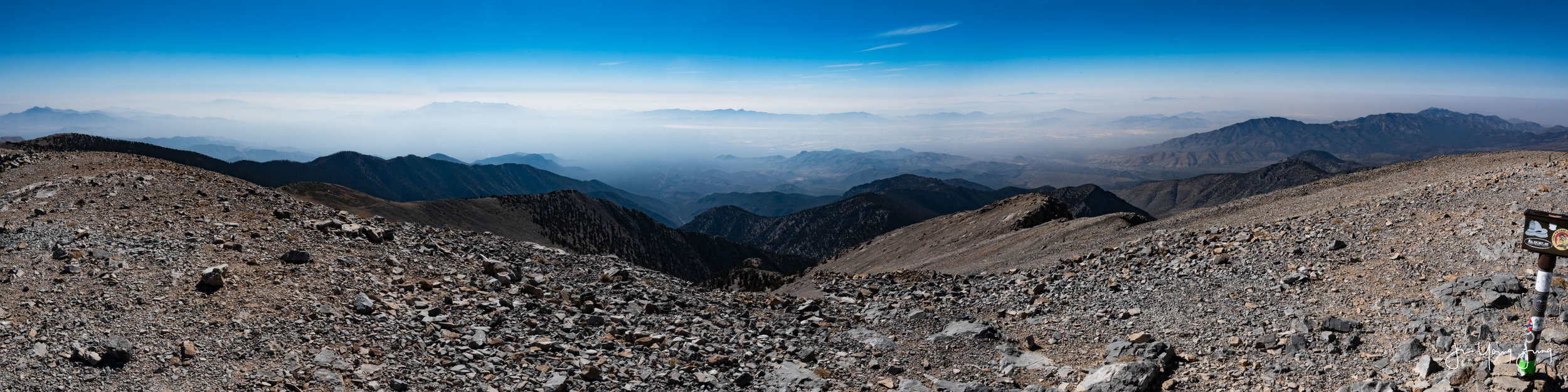
11,916 feet in elevation, highest mountain in Spring Mountains, and eight tallest mountain in the state of Nevada: Mount Charleston. I’ve made several attempts to conquer the summit; However, it always been a difficult one. There are three possible routes to the peak.
- Southloop Trail
- Northloop Trail
- Deer Creek Trail
I took the Deer Creek Trail due to its shortest distance to the peak. Deer Creek Trail is 15 miles round, but my Apple Watch calculated 24 miles total walking distance. (Maybe counting the elevation gain? I’m not sure.)
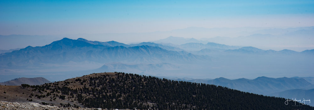
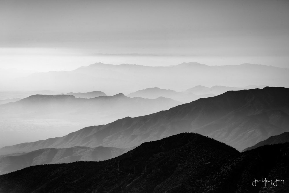
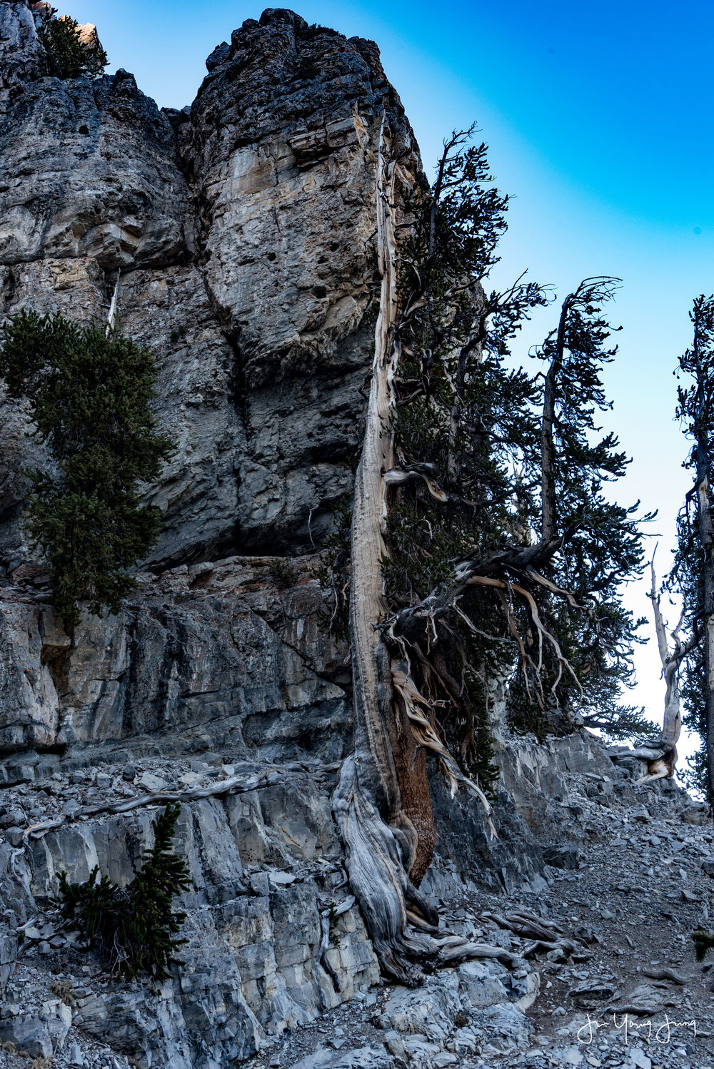
The hike is fairly difficult. Being it shortest distance results in higher incline. First three miles or so are pure elevation gain, about 850 feet elevation gain per mile. After that, it’s all fairly flat walking towards the summit on top of the ridges.
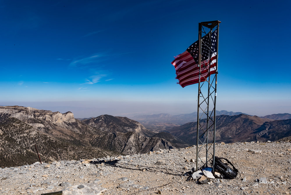
At the end, the last mile to the summit, there’s the zig zag of the death. It’s 17% incline and drinking plenty of water is important because altitude sickness can cause series of serious problems.
Overall, it was fun hike, but also long and painful one too. I started the trail 7:15 AM, hit the peak at 1:50 PM, and I came down to the parking lot around 7:30 PM after the sunset. I was little worried because it was pitch black, and all I had was my flash from the phone.
Thank you all for visiting my blog, check out my previous posts, and even consider getting one of my prints to support! Thank you again, and like always, I will see you in the next one.

![[New!] Milky Way at Death Valley](http://static1.squarespace.com/static/55f33e3ee4b01e51d6e40e94/55f59eb6e4b0741ffa9dcdda/5ae755bc562fa7d975e48092/1533780399907/Death+Valley.jpg)


